
Trails
Arizona
Arizona's warmest trail averages 73.5°F annually, making this 0.54-mile route ideal for winter and spring adventures. Black bears range through this...
Find 57 outdoor destinations within 50 miles of Kingman — 20 day use areas, 11 parks, 7 hot springs, 6 campgrounds, 6 attractions, 3 trailheads, 2 trails, 1 fishing, 1 wildlife areas.
57 outdoor recreation spots within 50 miles of Kingman, Arizona (pop. 35,714).
Including 20 day use areas, 11 parks, 7 hot springs, 6 campgrounds, 6 attractions, 3 trailheads, 2 trails, 1 fishing, 1 wildlife areas.
2 trails within 50 miles
Arizona's warmest trail averages 73.5°F annually, making this 0.54-mile route ideal for winter and spring adventures. Black bears range through this...

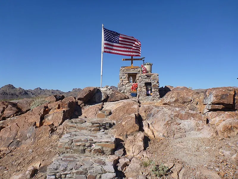
Arizona's Lake View trail climbs through arid terrain with sparse precipitation and warm yearlong temperatures. Black bears roam the area near this...
6 campgrounds within 50 miles

Windy Point Campground, Mohave
Campgrounds ArizonaLocated on the crest of the Cerbat Mountains, Windy Point Campground provides visitors scenic views of the surrounding valley and distant mountain ranges....
Packsaddle Recreation Site, Mohave
Campgrounds ArizonaPacksaddle Recreation Site is located along the crest of the Cerbat Mountains, high above the old mining town of Chloride, Arizona. Located at a 6,000...

Wild Cow Springs Recreation Site, Mohave
Campgrounds ArizonaWild Cow Springs Campground is situated in a grove of oak and large ponderosa pines within the Hualapai Mountains, at an elevation of 6,200 ft.
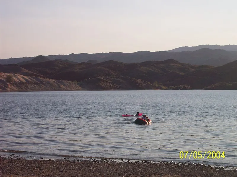
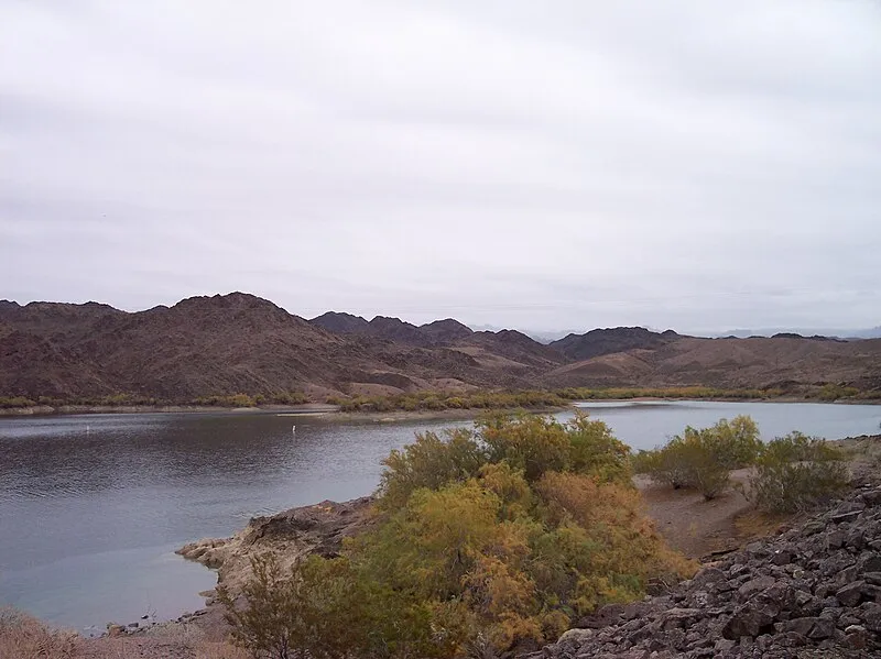
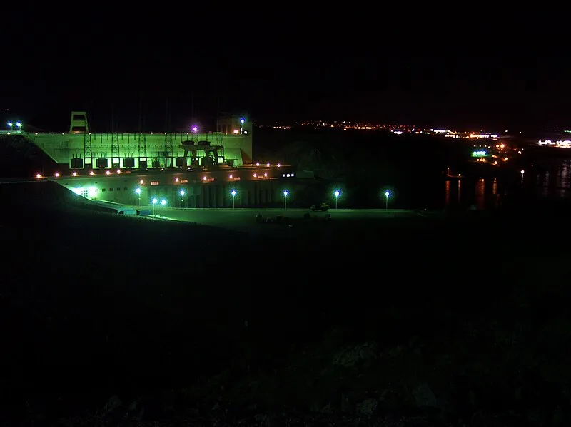
Katherine Landing Campground (N, 0mi), Lake Mead NRA
Campgrounds ArizonaWith views of the lake and within walking distance of the marina, swim beach, dining and retail store, campsites at Katherine Landing feature a wide array...
Wild Cow Springs Campground, Mohave
Campgrounds ArizonaWild Cow Springs Campground is situated in a grove of oak and large ponderosa pines within the Hualapai Mountains, at an elevation of 6,200 feet. This...
6 attractions within 50 miles
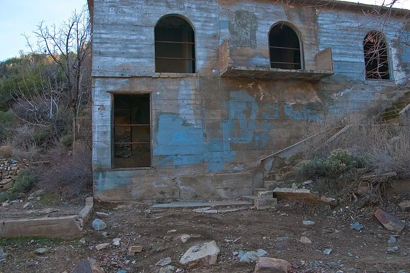
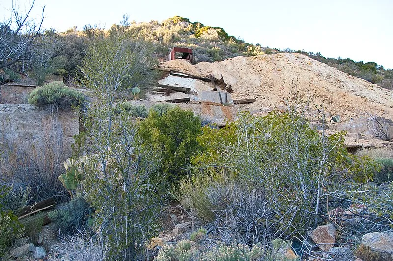
Arizona: Schoolhouse at Truxton Canyon Training School, Mohave
Attractions ArizonaThe Schoolhouse at Truxton Canyon Training School, a boarding school constructed to assimilate Hualapai Indians, is located in Mohave County 15 miles...
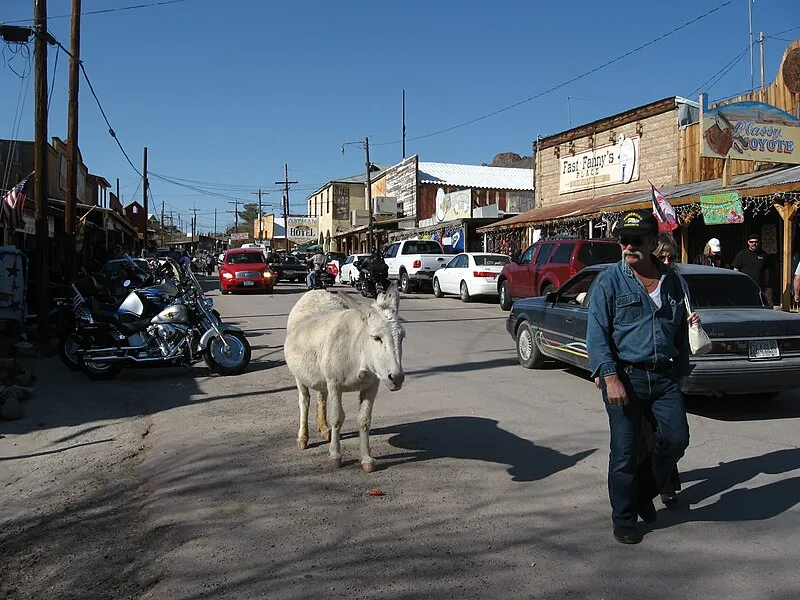
Located in beautiful and historic Oatman and named for its builder John Durlin, the Durlin Hotel is the only historic two-story adobe building in Mohave...
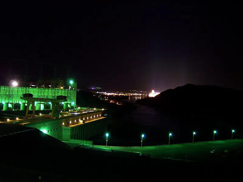
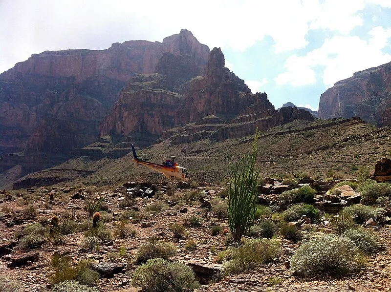
Discover Katherine Landing This oasis located just minutes from Bullhead City, Arizona, and Laughlin, Nevada, offers generous sunshine, sparkling blue...
Katherine Landing Launch Ramp, Lake Mead NRA
Attractions ArizonaThis oasis located just minutes from Bullhead City, Arizona, and Laughlin, Nevada, offers generous sunshine, sparkling blue water and white sandy beaches....
Arizona: Peach Springs Trading Post, Mohave
Attractions ArizonaPeach Springs lies within the traditional territory of the Hualapai people. The springs were reliable water sources that were used by Native Americans for...
Havasu Nwr Waterfowl Hunt - Pintail Slough Management Area, Mohave
Attractions ArizonaHavasu NWR's Pintail Slough Management Area in Arizona is a prime spot for waterfowl hunting, with seasonal access and wetland habitats.
7 hot springs within 50 miles
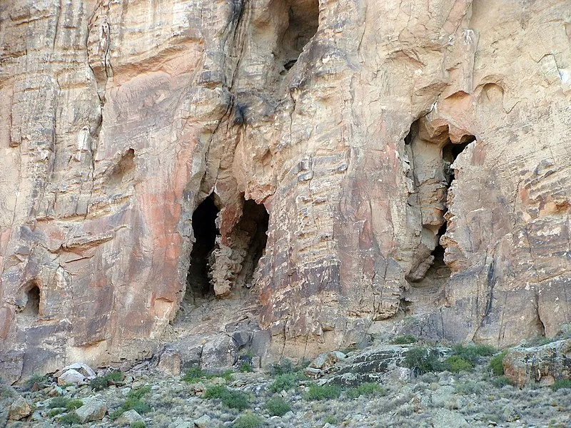
Frost Mine Spring near Kingman, Arizona, features bear sightings and 30 bird species with moderate solitude, best visited spring through fall.
Casa Grande Spring near Hackberry, Arizona, offers bear sightings among 30 bird species in a remote location best visited spring through fall.
Caliche Spring near Yucca, Arizona, features low rainfall and 30 bird species in a secluded setting ideal for spring, fall, or winter visits.
Oatman Warm Springs near Yucca, Arizona, provides a quiet soak with 30 bird species, ideal in cooler months.
Tom Brown Warm Spring near Wikieup, Arizona delivers exceptional seclusion with reliable bird activity in a warm desert climate.
11 parks within 50 miles

Cerbat Foothills Recreation Area (cfra), Mohave
Parks ArizonaThe 11,300-acre Cerbat Foothills Recreation Area (CFRA) is a mixture of federal, state, county, city, and private lands. The area is cooperatively managed...
Located in northwestern Arizona, the Kingman Field Office of the Bureau of Land Management administers 2.4 million acres of public lands for use and...
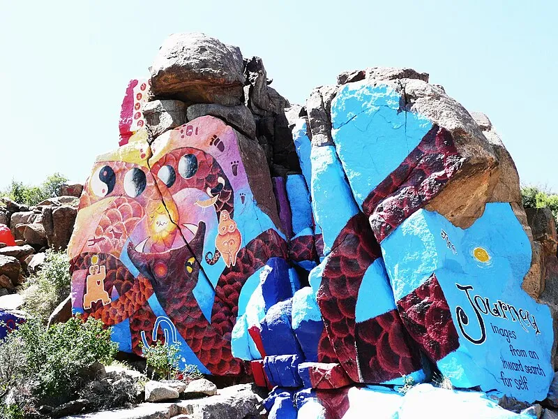
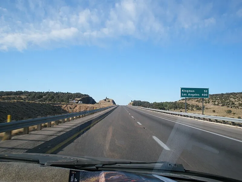
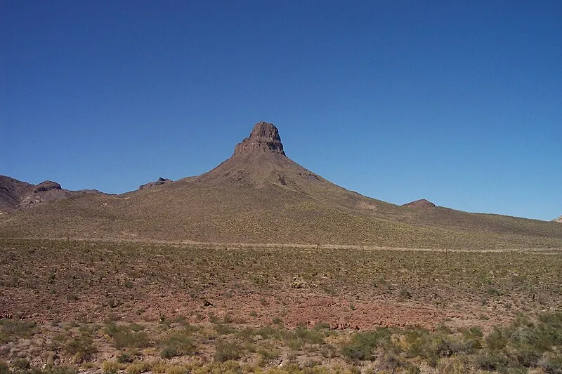
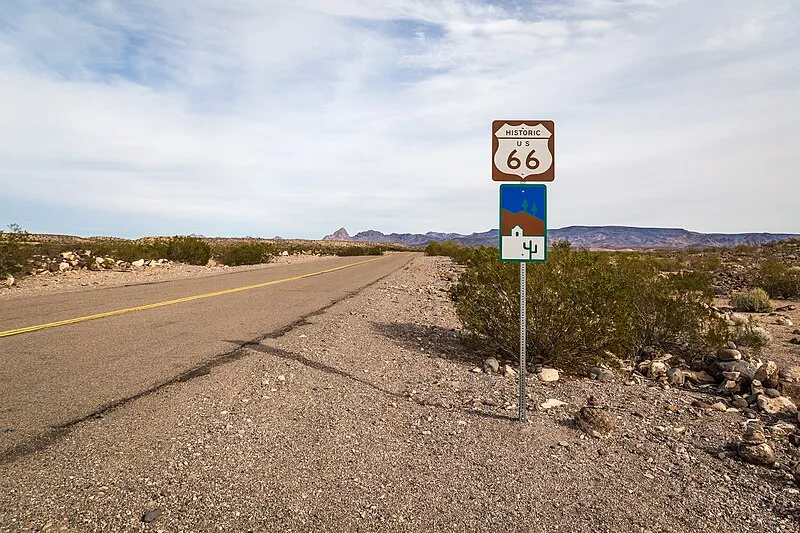
Route 66 Historic Back Country Byway, Mohave
Parks ArizonaRoute 66 was one of America's first transcontinental highways, linking Chicago and Los Angeles with nearly 400 miles passing through Arizona. Along its...

Muleshoe Ranch Cooperative Management Area, Mohave
Parks ArizonaWild Cow Springs Recreation Site is situated in a grove of oak and large ponderosa pines within the Hualapai Mountains, at a 6,200 foot elevation. Rising...
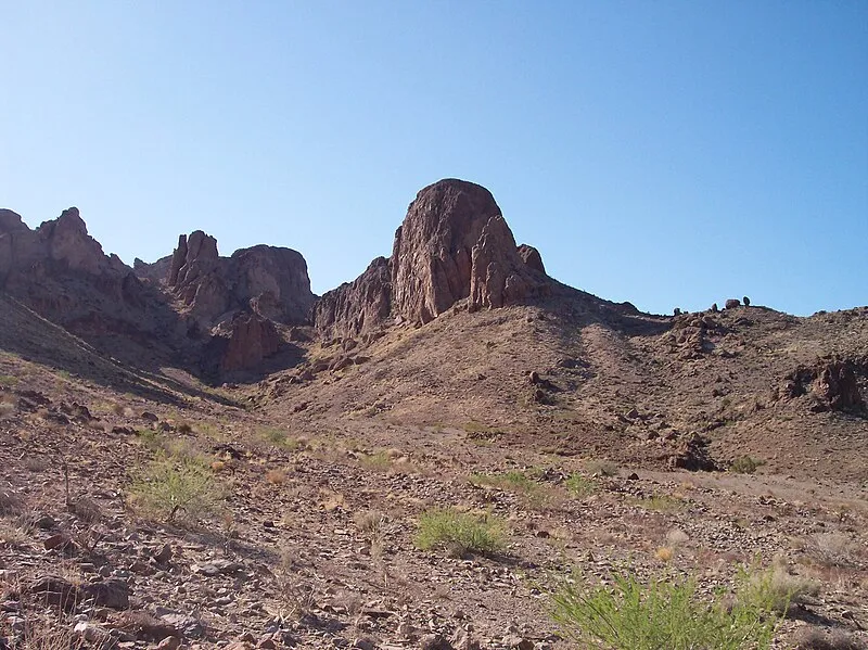
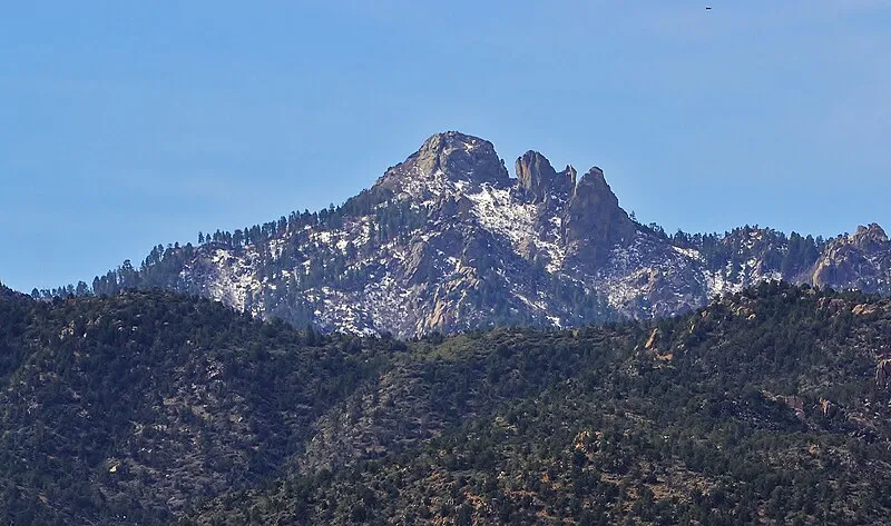
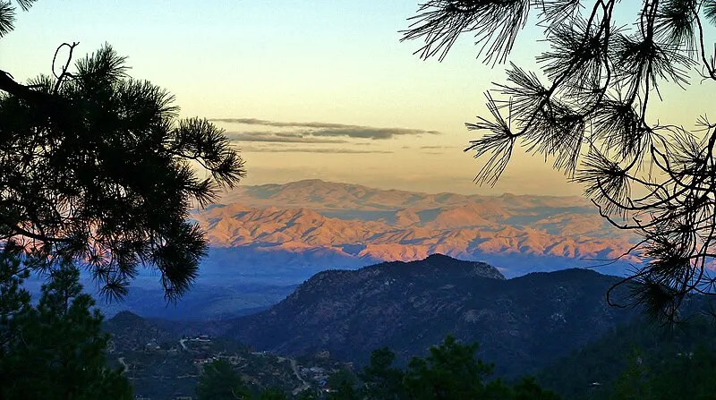
The Mount Nutt Wilderness (28,080 acres) is located in Mohave County, 15 miles west of Kingman, Arizona and 12 miles east of Bullhead City, Arizona. This...
Wabayuma Peak Wilderness, Mohave
Parks ArizonaThe 40,000-acre Wabayuma Peak Wilderness is located in Mohave County, 20 miles southeast of Kingman, Arizona. This wilderness is dominated by the...
The 2.5-mile one-way Wabayuma Peak Trail leads to the summit. The first two miles of Wabayuma Peak Trail follow an old jeep road into the Wabayuma Peak...
Mount Tipton Wilderness, Mohave
Parks ArizonaThe 30,760-acre Mount Tipton Wilderness is located in Mohave County, 25 miles north of Kingman, Arizona. This wilderness includes the entire northern...
Warm Springs Wilderness, Mohave
Parks ArizonaThe 112,400-acre Warm Springs Wilderness is located in Mohave County, 30 miles southwest of Kingman, Arizona and 30 miles north of Lake Havasu City,...
3 trailheads within 50 miles
Monolith Gardens Th - Metwell Trailhead, Mohave
Trailheads ArizonaThe Monolith Garden Trail is an easy to moderate trail open to hikers, mountain bikers, horseback riders and trail runners and is not...
Badger Trail Head Trailhead, Mohave
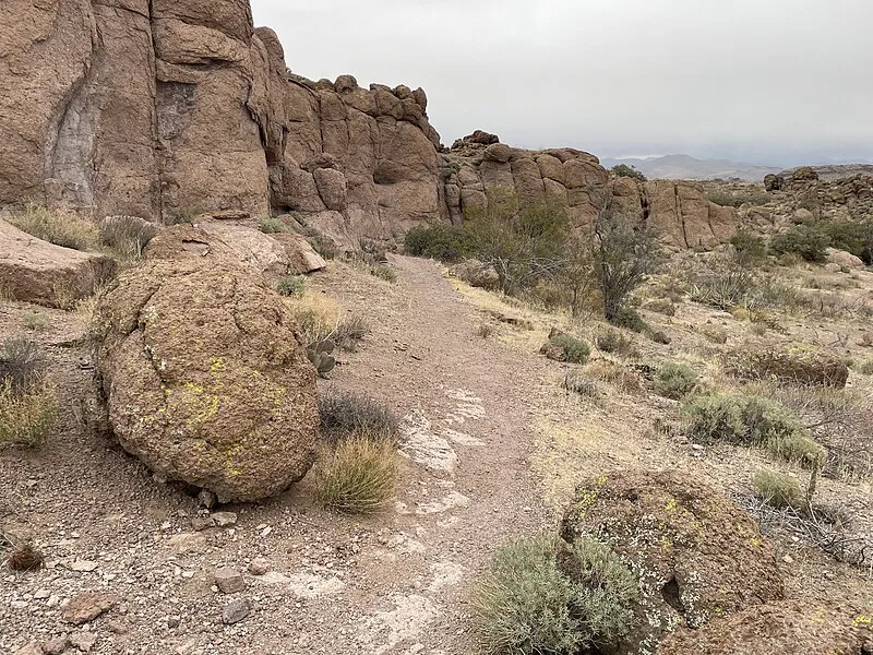
Trailheads ArizonaAscending into the southern end of the Cerbat Mountains, Badger Trail meanders through scenic Mohave Desert vegetation and interesting granitic rock...
Golden Shores Trail Trailhead, Mohave
Trailheads ArizonaGolden Shores Trail near Topock, Arizona provides secluded desert access best in spring, fall, and winter during its hot, dry climate.
20 day use areas within 50 miles
Castle Rock Scenic Overlook, Mohave
Day Use Areas ArizonaCastle Rock Scenic Overlook in Arizona has moderate solitude and decent views with 30 bird species present.
Coyote Pass Day Use Area, Mohave
Day Use Areas ArizonaAn Arizona day use area near Kingman with black bears, 30 bird species, and moderate visitor traffic.

Cherum Peak Trail Head, Mohave
Day Use Areas ArizonaThe route climbs steadily to gain about 700 feet of elevation over the first two miles, passing through patches of pinyon pine woodland and Arizona...
Mt. Nutt Access - Cave Spring, Mohave
Day Use Areas ArizonaCave Spring Trail climbs onto the east slope of the Black Mountains of Mount Nutt Wilderness. The 0.8-mile (one way) trail ends at Cave Spring.
Moss Wash Ohv Th Upper, Mohave
Day Use Areas ArizonaMoss Wash OHV Trail is a moderately challenging 10-mile trail that meanders through scenic high mountain forest and Mohave Desert vegetation.
A quiet Arizona day use area near Kingman with black bears, 30 bird species, and mild year-round temperatures.
Moss Wash Ohv Th Lower, Mohave
Day Use Areas ArizonaMoss Wash OHV Trail is a moderately challenging 10-mile trail that meanders through scenic high mountain forest and Mohave Desert vegetation.
North Kiosk - Rt 66 Bcb, Mohave
Day Use Areas ArizonaNorth Kiosk in Arizona offers mild spring and fall conditions with bear activity and diverse birdlife. The site provides moderate solitude.
Sleeping Princess Ohv Trail, Mohave
Day Use Areas ArizonaThis challenging off-highway vehicle (OHV) trail climbs up to the top of the Black Mountains for 3.2 miles and gains approximately 1,600 feet in elevation.
Mt. Tipton Access - Antelope C, Mohave
Day Use Areas ArizonaThe 30,760-acre Mount Tipton Wilderness is located in Mohave County, 25 miles north of Kingman, Arizona. This wilderness includes the entire northern half...
Mohave Milltown Th East Nm, Mohave
Day Use Areas ArizonaThe Mohave & Milltown Railroad Non-motorized Trail follows the route of a historic railroad grade. This 7-mile trail is limited for use by hikers and...
Mohave Milltown Th East M, Mohave
Day Use Areas ArizonaThe Mohave & Milltown Railroad Motorized Trail intertwines with a historic railroad grade. This 7-mile trail is designated for OHV and equestrian use and...
Picnic Area #2 (S, 22mi), Mohave
Day Use Areas ArizonaA picnic area in Arizona near Laughlin with moderate solitude and decent scenery, best visited in spring, fall, or winter. Black bears are present in the...

Arizona's Laughlin-area picnic site provides moderate solitude with decent scenery and black bears present during spring, fall, and winter visits.
Mohave Milltown Th West, Mohave
Day Use Areas ArizonaRoute follows a historic railroad grade for 7 miles. Hikers and mountain bikers travel along the actual railroad grade for most of the way, although...
Colorado River Nature Center, Mohave
Day Use Areas ArizonaColorado River Nature Center in Arizona offers moderate solitude with black bears and warm annual temperatures.
South Kiosk - Rt 66 Bcb, Mohave
Day Use Areas ArizonaSouth Kiosk - RT 66 BCB in Arizona near Topock is a highly secluded day use spot with decent scenery and 30 bird species, best in spring, fall, or winter.
Mt. Nutt Access - Twin Spring, Mohave
Day Use Areas ArizonaTwin Springs Trail is a 1.4-mile hike (one way) up a valley on the eastern side of the Black Mountains of Mount Nutt Wilderness.
Twenty Six Wash near Chloride, Arizona, is a day use area with moderate solitude and decent scenery, where black bears may be encountered.
Mt. Tipton Access - L. Indianspr, Mohave
Day Use Areas ArizonaThe 30,760-acre Mount Tipton Wilderness is located in Mohave County, 25 miles north of Kingman, Arizona. This wilderness includes the entire northern half...